https://www.e-education.psu.edu/natureofgeoinfo/c6_p6.html
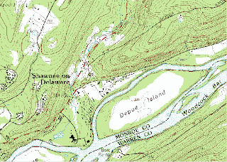
Digital Raster Maps are scanned image of paper USGS maps of the topography creating a digital image on a computer usually in a TIFF. format. They are usually used as backdropped images for other digital maps. This is digital scan of a partial USGS image of Bushkill, PA.

No comments:
Post a Comment