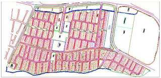
These types of maps show detail information about land property in a certain area. It can show all of the parcels and boundaries of a area of land. The government maintains a lot of the cadastral maps and their also apart of public records. The cadastral map above shows the properties of each lot on Namkabrood area map. This map qualifies because it shows clear lines that mark off each boundary of property in this specific area.
No comments:
Post a Comment